Tell your friends about this item:
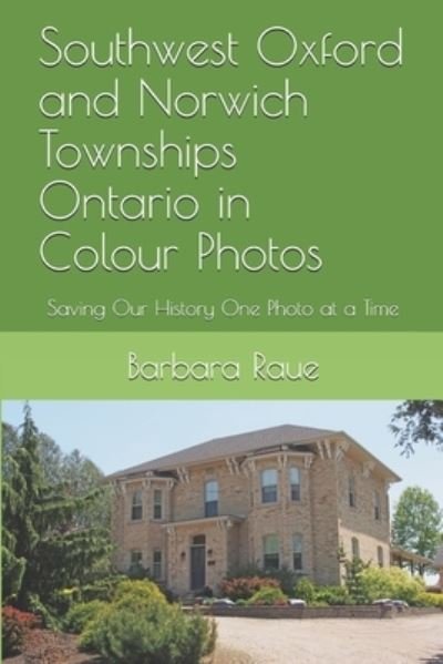
Southwest Oxford and Norwich Townships Ontario in Colour Photos
Barbara Raue
Ordered from remote warehouse
Our customers say:

Southwest Oxford and Norwich Townships Ontario in Colour Photos
Barbara Raue
South-West Oxford is a township in Ontario in Oxford County. A predominantly rural municipality, South-West Oxford was formed in 1975 through the amalgamation of Dereham and West Oxford townships and the village of Beachville. South-West Oxford extends north to south from the middle of Oxford County along the Thames River/Highway 401/Woodstock-Ingersoll east-west corridor to the southern boundary of the county along the Delhi-Tillsonburg-Aylmer/Ontario Highway 3 east-west corridor. The northern boundary follows the course of the Thames River except where carve outs have extended the boundaries of Ingersoll and Woodstock into former township lands. In its wilderness state, the former Dereham township had thousands of acres of swamp and marsh land which limited its use for agriculture. Several large drainage projects brought great improvement and remain as essential parts of the township's farmland infrastructure. The township topography still has several large forested areas which are remnants of the original swamps on which drainage system runoff is concentrated. At its north end, the township is underlain with an unusually pure limestone deposit centered between Ingersoll and Beachville that extends north-west through most of Zorra and south-east into Norwich. Open-pit mining of the limestone and kiln-firing to produce lime has been underway along the Thames River since pioneer days, and since the 1950s heavy industrial operations have led to nearly three thousand acres being licensed for extraction from pits more than 100 feet deep. The size of the limestone deposits is sufficient to support these operations for another century or more. The township of South-West Oxford comprises a number of villages and hamlets, including the following communities such as *Beachville, Brownsville, Brownsville Station, Centreville, Culloden, Delmer, Dereham Centre, Foldens, Hagles Corners, Mount Elgin, Ostrander, Salford, Sweaburg, Verschoyle and Zenda. Salford is a small village along Highway 19; it is surrounded by agricultural land and the Oxford landfill to the east. There are two churches, and the Salford Community Centre with a ball diamond. Sweaburg is located five kilometers southwest of Woodstock. Its main intersection is Sweaburg Road and Dodge Line (County Roads 12 and 41). It had a public school for students up to grade three until 2009, and currently has Sweaburg United Church and cemetery, a ball diamond, and a convenience store. The Township of Norwich is a located in Oxford County in southwestern Ontario. Oxford County Road 59 is the major north-south highway through much of the township. The local economy is largely agricultural, based on corn, soybean, and wheat production with dairy farming in the north part of the township and tobacco, vegetable, and ginseng farming to the south. Slowly, ginseng and traditional cash crops are replacing the former cash crop - tobacco, as demand shrinks. The Bostwicks, Ingersolls and Canfields were New England families who had made their start in the New World in the 1600s, and frontier living had been second nature to them for generations. Settlement in the former Norwich Township came more than fifteen years after Oxford Township. The Norwich settlement was founded by two men: Peter Lossing and Peter De Long. Peter Lossing's house was the first one in Norwich. In 1975, Oxford County underwent countywide municipal restructuring. The Village of Norwich and the Townships of East Oxford, North Norwich and South Norwich were amalgamated to create the Township of Norwich. Norwich includes the communities of Beaconsfield, Bond's Corners, Brown's Corners, Burgessville, Cornell, Creditville, Curries, Eastwood, Hawtrey, Hink's Corners, Holbrook, Milldale, Muir, Newark, New Durham, Norwich, Oriel, Otterville, Oxford Centre, Rock's Mills, Rosanna, Springford, Summerville, Blows, and Vandecar.
| Media | Books Paperback Book (Book with soft cover and glued back) |
| Released | August 28, 2019 |
| ISBN13 | 9781689192910 |
| Publishers | Independently Published |
| Pages | 70 |
| Dimensions | 152 × 229 × 5 mm · 140 g |
| Language | English |